


Interested in new technologies of data services?
Do you want to stay ahead in the field of geospatial technology? Are you interested in learning about the latest OGC API standards and how they can help you optimize your services? If yes, this online Data Service Management course is for you! In this post, you will learn about the course content and how […]

What do companies think about GeoE3 data and services?
In 2022 Camille Cossec and I carried out user interviews to collect feedback on the draft GeoE3 service infrastructure and other work in progress. The interviews focused on users working in the solar energy potential and energy efficiency domain. We successfully found a handful users to be interviewed with the help of the networks of...

Improve your data management with our new course
Is it time to get rid of siloed data and make it findable, available, interoperable and reusable? If yes, check out our latest online course in Location Innovation Academy. This course includes texts, videos and real-life demos that help you improve your skills related to Spatial Data Infrastructures (SDI). Data management course is our...

Launch of Location Innovation Academy
Learn about geospatial data interoperability Location Innovation Academy supports improving access, interoperability and integration of geospatial data and services, for free. The accessibility, interoperability, and integration of cross-border geospatial data and services have been accelerated in the GeoE3 project over the...
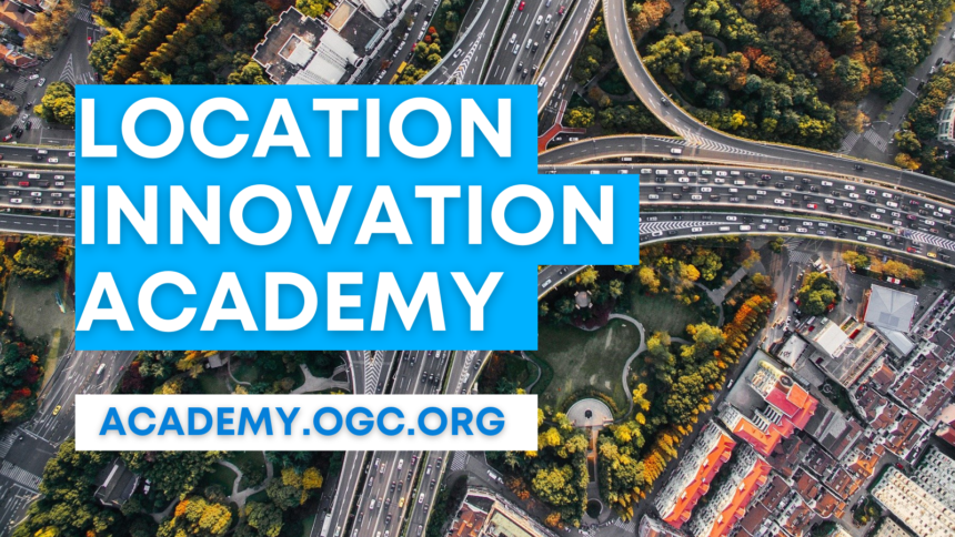
Webinar: Location Innovation Academy is open – and you are invited!
5.4.2023 at 12.30-13.15 CETWebinar will be held in Teams for registered participantsOrganisers: GeoE3 project and Location Innovation Hub Watch the recording of Location Innovation Academy launch webinar. The accessibility, interoperability and integration of cross-border geospatial data and services have been accelerated in the GeoE3...
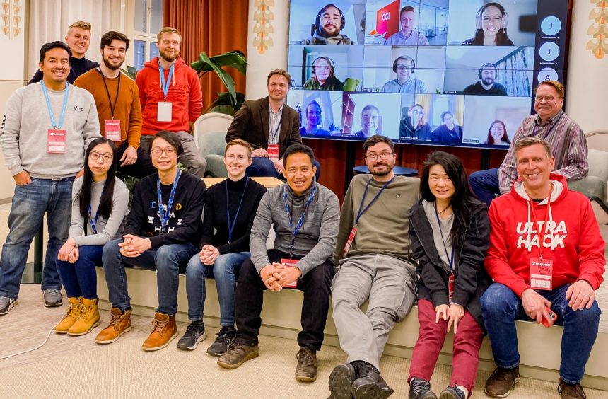
Mentoring at the Hackathon
Last week, I participated in my first Hackathon as a mentor. The challenge of the hackathon was to develop new innovations and ideas for smart cities based on harmonized spatial data of the GeoE3 project. The role of the mentors was to provide support, offer new perspectives, and boost the teams to win the competition. […]
Highlighting Quality in Geospatial Data & Service Evaluations
Looking for answers as part of scientific research, technical work or even personal curiosity can sometimes be hindered by languages, borders, or lack of trust in data you don’t understand. In the case of geospatial data in Europe, access and use of this data are usually very nation centric. Yet, to expand the reach of […]
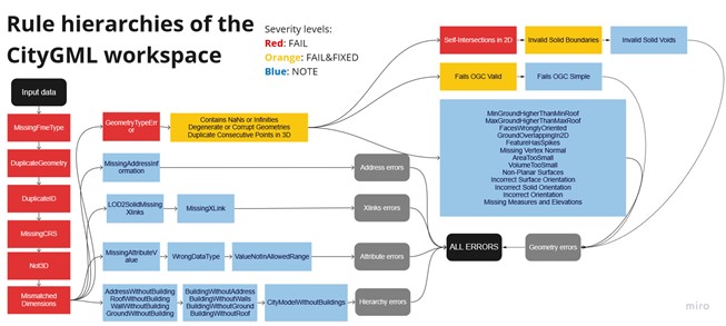
Quality Assurance Software
For this project, I have developed a pilot software for data quality assurance of 3D buildings. The software checks the CityGML and CityJSON formats againts pre-defined quality rules and creates an output report containing all founded violations in the tabular or geometrical format. Totally the software contains over 40 quality...
Enhanced urban applications from GeoE3 data space
Geospatially Enabled Ecosystem for Europe (GeoE3) provided a platform to access consistently the spatial data from heterogeneous sources and different Countries. In the geoe3platform.eu it is possible to access and browse datasets including Buildings, Buildings3D, Roads, Roads3D, DTM, DSM, Temperature, Wind speed and Sunshine information...
GeoE3 publishes the first Data Integration Platform, connecting national, regional, and cross-border digital services
GeoE3 has published the first data integration platform demonstrating how vital connections between existing and emerging national, regional, and cross-border digital services can be made. With the newly launched platform, GeoE3 shows how meaningful analysis and visualization in national and cross-border contexts can be simplified for...