
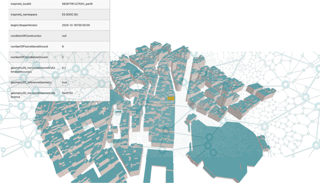
Geospatially Enabled Ecosystem for Europe (GeoE3) provided a platform to access consistently the spatial data from heterogeneous sources and different Countries. In the geoe3platform.eu it is possible to access and browse datasets including Buildings, Buildings3D, Roads, Roads3D, DTM, DSM, Temperature, Wind speed and Sunshine information for the countries involved in the project: Finland, Estonia, the Netherlands, Spain and Norway. The data are retrieved from the respective National Mapping and Cadastral Agencies’ datasets via OGC APIs, and they are made consistent with respect to semantics so that they can be used consistently for several use cases by means of the same tools. This is a relevant step forward for many applications, including the development of data spaces and digital twins use cases. Some example use cases are provided by the GeoE3 project itself, regarding the energy efficiency planning in buildings; co-operative intelligent transport systems and advancing map-enhanced driver assistance systems leading to automated driving; and cross border and cross domain smart cities.
The consistent representation of the built environment enables a number of applications and analysis, including the study of the urban development to support planning. The access to several sources of information enables more complex analysis, which could support effectively environmental improvement in cities. For example, the access to information about the city objects, as well as to the weather parameters, such as temperature, wind speed, sun power, could support the optimisation of heating and cooling systems of buildings, as well as a proper design of public spaces in order to naturally compensate for uncomfortable or bad conditions (plant trees, use different pavement materials, shadow areas and so on).
New European projects are about to start, that will have great advantage from such consistent sharing of data. In particular they deal with the digitalisation of building permits and with the development of data spaces supporting the European green deal. A building permit is an authorization to start the construction phase of a building project, granted by public authorities. Building permits are issued after verifying that a building design complies with construction regulations to ensure quality in buildings and city development. ‘Digitalisation’ refers to the use of digital tools, methods and data (e.g., 3D information systems) to automate and manage the whole process and interactions, rather than submitting paper-based 2D drawings to be checked manually.
Current non-digital process suffers from low accuracy and efficiency which leads to errors in planning, design and construction processes, besides requiring a long time to be manually processes. The digitalisation of the building permit system would allow faster and more efficient processes, more accurate compliance checks, more transparent and unambiguous regulations. Moreover, it would make human resources available to focus on the most complex cases and the checking of regulations which cannot be digitalised and automated. This would lead to an overall improvement of the checks and, consequently, of the built environment. This is why a big effort is being made towards this goal.
A relevant challenge for the digitalisation of building permits is their very high complexity and multidisciplinary nature, which would require several kinds of expertise and several kinds of data to collaborate together consistently. The use of platforms based on proper APIs will be a key to solve the fragmentation of data and tools. In addition, some of the applications developed for the GeoE3 project will likely be reused in the future in order to support relevant analysis for the urban environment assessment and planning. First of all, the assessment of energy efficiency of buildings will become a key factor in the permitting process. It will be necessary to integrate the information coming from Building Information Models (BIM), which will be used as the main source for newly designed buildings, and the advantage of the connection of geoinformation with BIM, managed through a proper data space will deliver its great potential.
In addition, municipalities will be able to design more specific regulations and policies for more specific areas and parcels, based on the analysis made via the information accessed through the data space. It will be possible to detect specific needs related to climate, pollution and comfort in general (air quality, temperature, wind, light, noise, shadow, etc.) and regulate the city plans accordingly.
In the next three years, OGC will be involved in European projects addressing those challenges, for the digitalisation of building permits (CHEK and ACCORD projects) and on the development of data spaces to support the European Green Deal (AD4GD, USAGE projects).