
Location Europe: geospatial datasets now cross borders seamlessly
The Location Europe data integration platform (previously known as GeoE3 platform) provides harmonised location data from different countries across Europe.
Webinar for NMCAs: Take your geospatial services to the next level with GeoE3
Date: 18 January 2023Time: 10–12 CETPlatform: Teams Watch the presentations on YouTube: GeoE3 Use Cases & GeoE3 Plus, GeoE3 platform – technical introduction, Location Europe platform demo Over the last three years, the GeoE3 project has been working on: Now we invite European NMCAs to join us! In this webinar you will...
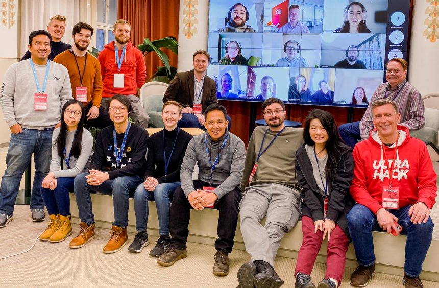
Data Week Leipzig: Tackling urban sustainability challenges
The GeoE3 project presented itself together with the Location Innovation Hub at the DataWeek event in Leipzig. The Hackathon Winners Award Ceremony showcased smart city solutions created by companies and teams of developers to promote the digitalisation and efficient use of data in cities.
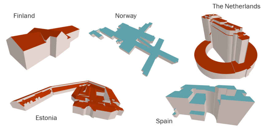
Extensions to Buildings Provision in GeoE3
With the recent additions to the Buildings/3D Buildings themes on the GeoE3 Integration Platform, the building’s theme has become the most populated theme in GeoE3. Currently, there are seven countries covered in the 2D Buildings theme and eight countries in the 3D Buildings theme. The new countries added to the GeoE3 Integration...

Develop your data and service integration skills
Do you find it challenging to integrate data from different sources? Are you looking for ways to streamline your data integration processes and enrich your data? Look no further than our new “Data and Service Integration” course at the Location Innovation Academy. Our comprehensive online course is designed to teach you the latest...

Interested in new technologies of data services?
Do you want to stay ahead in the field of geospatial technology? Are you interested in learning about the latest OGC API standards and how they can help you optimize your services? If yes, this online Data Service Management course is for you! In this post, you will learn about the course content and how […]

What do companies think about GeoE3 data and services?
In 2022 Camille Cossec and I carried out user interviews to collect feedback on the draft GeoE3 service infrastructure and other work in progress. The interviews focused on users working in the solar energy potential and energy efficiency domain. We successfully found a handful users to be interviewed with the help of the networks of...

Improve your data management with our new course
Is it time to get rid of siloed data and make it findable, available, interoperable and reusable? If yes, check out our latest online course in Location Innovation Academy. This course includes texts, videos and real-life demos that help you improve your skills related to Spatial Data Infrastructures (SDI). Data management course is our...
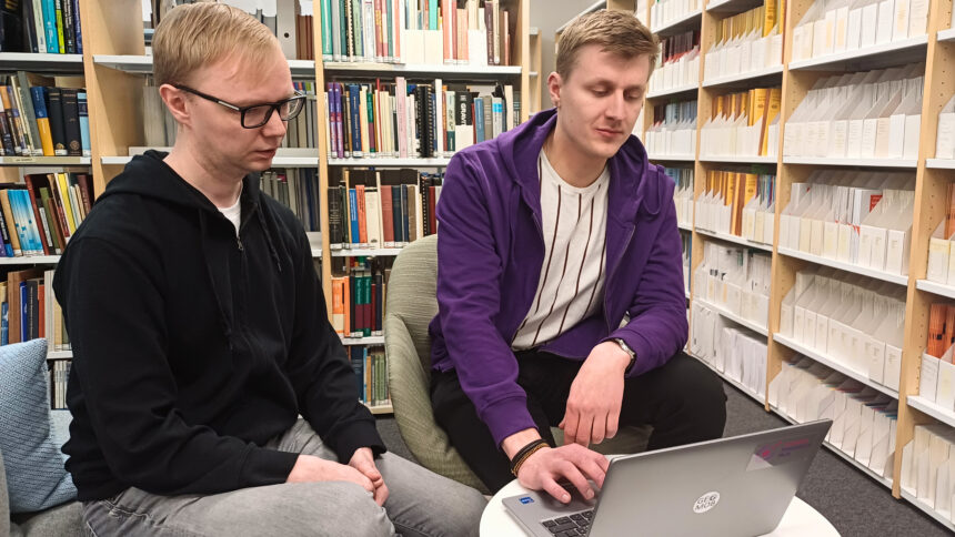
Mentoring at the Hackathon
Last week, I participated in my first Hackathon as a mentor. The challenge of the hackathon was to develop new innovations and ideas for smart cities based on harmonized spatial data of the GeoE3 project. The role of the mentors was to provide support, offer new perspectives, and boost the teams to win the competition. […]
Highlighting Quality in Geospatial Data & Service Evaluations
Looking for answers as part of scientific research, technical work or even personal curiosity can sometimes be hindered by languages, borders, or lack of trust in data you don’t understand. In the case of geospatial data in Europe, access and use of this data are usually very nation centric. Yet, to expand the reach of […]