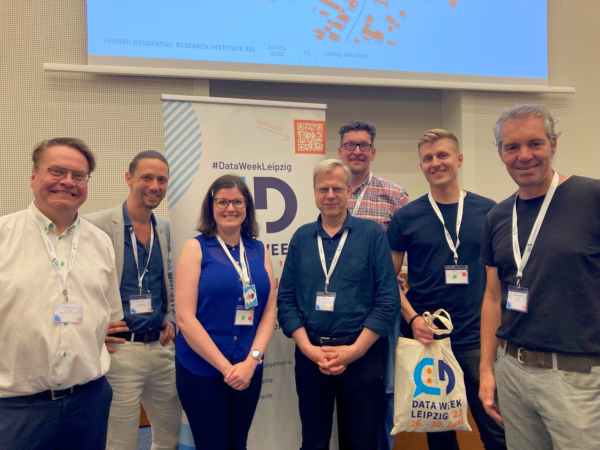
The GeoE3 project presented itself together with the Location Innovation Hub at the DataWeek event in Leipzig on 26-28 June, where some 300 participants were offered an interesting mix of presentations and workshops on the impact of digitalisation and the development of data spaces and AI applications for urban development challenges.
You can read more about the event in this news article.
The Hackathon Winners Award Ceremony on 27 June showcased smart city solutions produced by companies and developer teams to promote digitalisation and efficient use of data in cities. Data was used to experiment with solutions for safe and low-emission housing and construction, as well as low-carbon transport. Some of the solutions were just emerging ideas, while others were products moving towards production development.
The ceremony rewarded the winners of the Leipzig hackathon and presented the winning trio of the joint Finnish-Estonian hackathon.
Ideas for better urban planning
Leipzig is a growing city of more than 600,000 people with ambitious sustainability goals. The city’s own hackathon gave teams access to data generated by the city and shared through a data portal. The aim was to generate insights for the city’s development and to improve the accessibility and usability of city data.
One of the winning ideas was the work of the Akkodis team, which explored how to solve urban mobility problems by combining different data sources. For example, by combining the data, they were able to show which modes of transport are the most efficient and effective in the city. This information could be used in the future for urban transport planning in Leipzig, for example.
Another winning proposal, Superblocks in Leipzig, looked at how quality of life dimensions could support the development of sustainable urban design. Their model is based on the idea that a city can be divided into blocks where there is less traffic and where people can walk or cycle to important services within 15 minutes. Identifying such areas is essential for developing a pleasant and safe urban environment.
View all the ideas here (in German): https://opendata.leipzig.de/pages/hackathon

Data Week provided new knowledge and networks
The winners of the Finnish-Estonian Smart City hackathon presented their winning ideas and current status to an international audience. The ideas were received with great interest. Valeri Tsatsishvili, Chief Product Officer of CHAOS Architects, found the Leipzig Data Week interesting despite its research focus, especially from the perspective of the EU’s development work on climate change.
“There were good discussions and a lot of new information. I was left wondering how businesses have been involved in the discussion and design of the Green Deal data space,” he says.
Jami Valorinta, Chief Technology Officer of the team that won the hackathon with the MakeaBIM app, had similar thoughts.
“I’ve been networking here and meeting potential partners. It’s been interesting to learn about German culture, which is a bit different from Finnish culture,” he says. The MakeaBIM team, which started its business a few months ago, will spend the summer working hard on development:
“We are working on a pilot project with Helsinki City Housing Company, creating 100 BIM models of their buildings. The models will be used in renovation planning, for example to optimise energy efficiency,” says Valorinta.
SPADE CEO Armando Dauer and CTO Tiago Tamagusko were inspired by the event and praised the collaborative discussions on data use and access among the participants. The SPADE application they implemented will be further developed to be used in more cities in the future.
“Participating in hackathons is important and valuable for us. SPADE has taken us to places we never imagined. It will be interesting to see where it takes us,” said Dauer and Tamagusko.
Find out more about the applications and future development ideas of the Location Intelligence for Smart Cities winners.
- Make a BIM: an easy-to-use and scalable method for creating BIM models of existing buildings, presentation (pdf)
- SPADE: a solution for modelling storm water and flood risk areas using elevation models, satellite imagery and location data, presentation (pdf)
- CHAOS Architects: a tool for improving the energy efficiency of a built-up area, presentation (pdf)