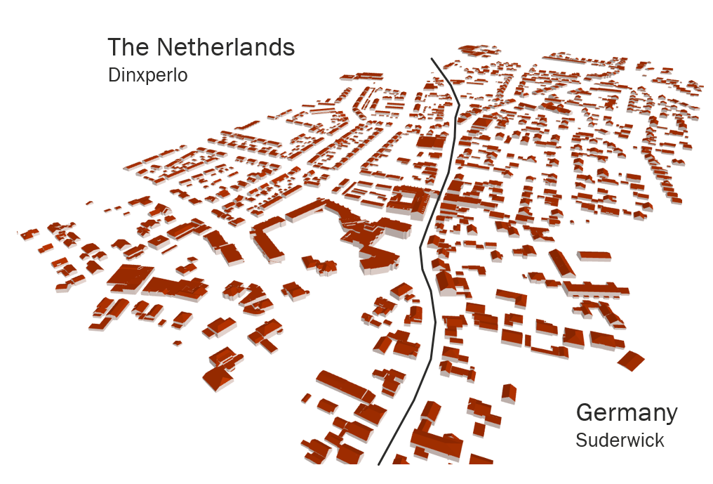
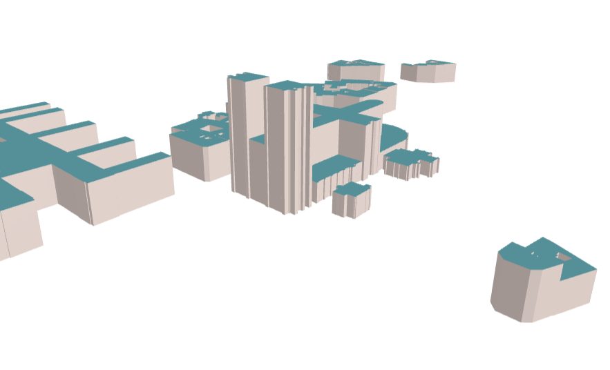
With the recent additions to the Buildings/3D Buildings themes on the GeoE3 Integration Platform, the building’s theme has become the most populated theme in GeoE3. Currently, there are seven countries covered in the 2D Buildings theme and eight countries in the 3D Buildings theme. The new countries added to the GeoE3 Integration Platform include France, which was added in Nov 2022 with themes Basemap, Buildings and Roads, and Slovakia, added in Oct 2022 with themes Basemap, Buildings, Roads, DTM and DSM. 3D Buildings were also added from some areas in Germany bordering The Netherlands for demonstrating cross-border 3D visualization on the German-Dutch border. The addition of the two new countries expands the spatial coverage of the GeoE3 Integration Platform and moves the project closer to the published KPI of 10 connected geospatial platforms.

Buildings from France are accessed from a Web Feature Service (WFS) API provided by the IGN France. The building theme (batiment) covers the whole country and contains 14 attributes that can be mapped into the building’s common schema used in GeoE3. The attributes also include ‘heightAboveGround_value’ (hauteur), which indicates the height of the building and can be used to generate a LOD1 3D representation of the building on-the-fly by the Integration Platform.

The Buildings theme from Slovakia is available from an INSPIRE-compliant WFS maintained by the UGKK (Geodesy, Cartography and Cadastre Authority of the Slovak Republic). The buildings theme (bu-core2d:Building) also covers the whole country and contains 16 attributes that are mappable to the GeoE3 buildings schema. Among the attributes, there is an attribute ‘numberOfFloorsAboveGround’ that is used in the creation of LOD1 3D Building models with a constant floor height of 3 meters.
The addition of French and Slovakian data sets to the GeoE3 services demonstrates the easiness of extending the Integration Platform, as the basic tools are already existing, for instance for connecting the platform to a WFS-compliant or to a WCS-compliant service. Similarly, the functionalities for on-the-fly creation of DOM1 3D models from 2D building footprints and height information are already available on the platform, making the addition of new countries’ 3D buildings a straightforward process. Once the source services have been connected to the GeoE3 Integration Platform using dedicated provider modules, the rest of the functionalities, like map visualization, attribute display, data download, and interactive 3D viewing, are provided by the platform. Both the 2D and the 3D buildings are also available for machine-to-machine data access via the OGC API Features service interface.
The two new countries’ datasets are now available among the already existing GeoE3 content on the GeoE3 Integration Platform (geoe3platform.eu) in themes ‘Buildings’ and ‘Buildings3D’. Also, the JSON-encoded outputs are available by request, according to the OGC API Features standard, when you add the parameter ?f=html to the URL.
At the time of writing, the Slovakian source building service is unfortunately under the maintenance. There is also a technical problem in the French WFS API at the moment so individual buildings cannot be queried.
Writer: Lassi Lehto, D.Sc. (Tech.), Research Manager, National Land Survey of Finland
