
The XII Iberian Conference on Spatial Data Infrastructures (JIIDE, in Spanish acronyms) was held virtually from 15 to 19 November, 2021. Held annually, these workshops are a collaboration between the Direção-Geral do Território de Portugal , the Govern d’Andorra, and the Spanish National Center of Geographic Information. The objective of the workshop is to raise awareness of the state of development of interoperable spatial data service technologies through the exchange of experiences and knowledge.
This year’s JIIDE was held under the theme “Digital Ecosystems and Interoperability” and was divided into five days (from 15 to 19 of November) with a guest lecture on the objectives of the European Location Interoperability Solutions for e-Government (ELISE) Action. ELISE is a package of legal/policy, organisational, semantic and technical interoperability solutions that aim to facilitate more efficient and effective digital cross-border or cross-sector interaction and data re-use in the domain of location information and services.
The online workshop (agenda here) consisted of 4 practical workshops, 1 round table about official geographic information and OpenStreetMap, and 65 presentations to share and disseminate the harmonization, standardisation, and publication of geographic information through Spatial Data Infrastructure.
Two of those presentations were dedicated to GEOE3 in order to disseminate its work and developments. The first presentations were “GeoE3 Geospatially Enabled Ecosystem for Europe, GeoE3” by Nils Hempelmann from the Open Geospatial Consortium (OGC) with 339 people registered, and “GeoE3 Content Integration Platform” by Lassi Lehto with 180 people registered. The sessions have been recorded and broadcasted on YouTube.
The conference was aimed at professionals from public administration, the private sector, and academia who deal with geographic information. In other words, they are open to anyone that uses or intends to use Spatial Data Infrastructures (SDI) in the exercise of their activities.
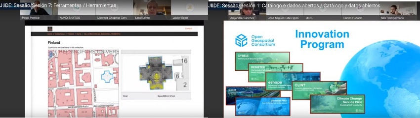
The entire session is published at YouTube:
https://www.youtube.com/watch?v=4TBxGJlVwN4
Learn more:
[PAP1]https://www.jiide.org/
[PAP3]https://www.govern.ad/
[PAP4]https://www.ign.es/web/ign/portal/qsm-cnig [PAP5]https://joinup.ec.europa.eu/collection/elise-european-location-interoperability-solutions-e-government/about#q1 [PAP6]https://www.idee.es/resources/presentaciones/JIIDE21/Programa_JIIDE2021.pdf
[PAP7]https://www.openstreetmap.org [PAP8]https://www.idee.es/resources/presentaciones/JIIDE21/Presentaciones/65_1.pdf [PAP9]https://www.idee.es/resources/presentaciones/JIIDE21/Presentaciones/64_7.pdf